
Physical world map
A wall map of the world on the Equal Earth projection: mountains, terrain and ocean depths, every landmass at its true relative size.


English supplier artwork shown.
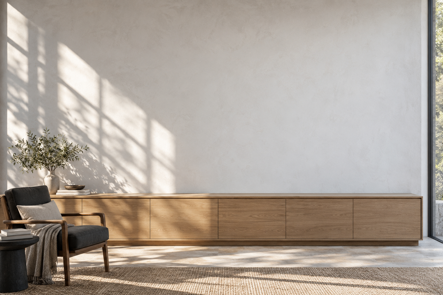
Find the size for your wall
Compare widths from 100 to 200 cm in the room view. Measure your wall before choosing; the room is an illustration, with the map shown to scale.
Compare map sizesSize matters on a map
On a Mercator world map, countries look larger the further they are from the equator. Greenland looks as big as Africa, which is fourteen times larger. Equal Earth keeps every area in proportion.
A small change of perspective that opens bigger conversations about the world.
Every flat map compromises. Equal Earth keeps areas true; shapes and distances still change a little.
Greenland and Africa, on two maps of the same world
Greenland is about 2.2 million km². Africa is about 30.4 million km², roughly 14 times larger.
Mercator: Greenland looks almost as large as Africa.
Shapes from Natural Earth; Mercator shown from 58° S to 84° N. About Mercator · About Equal Earth

What is on the map
Landscapes you can read
Elevation colours and relief shading show mountain ranges, plateaus and lowlands.
Oceans with depth
Shades of blue reveal shelves, trenches and the shape of the sea floor.
A map in your language
English, German, French and Dutch editions are available. Choose the language of the printed map above.
- Projection
- Equal Earth, equal area
- Widths
- 100, 120, 140, 175 or 200 cm
- Language
- English
- Cartography
- The World of Maps · 1859
Planning a larger order?
Tell us how many maps you need, which sizes and finishes you prefer, and where you want them delivered. Add any other requirements to your quote request.
- From 5 maps, a tailored quote
- Invoice and purchase-order numbers
- Mixed editions, sizes and finishes
Before you order
What size should I choose?
Measure the wall you have. Rolled maps come in 100 × 55, 120 × 65, 140 × 75, 175 × 100 and 200 × 110 cm. Forex and whiteboard are available in the three smaller sizes, up to 140 × 75 cm. The room view compares sizes to scale, but it is an illustration, not a plan of your wall.
Which map languages are available?
English, German, French and Dutch are available. Choose the language of the printed map above; it is shown again at checkout. For another language, email info@theworldofmaps.com before ordering.
What does it cost?
The price for each size and finish is shown above and includes VAT. EU shipping is €10 per order for rolled maps and €15 for panels. Delivery timing is confirmed with your order. Online checkout supports 1–4 maps. For 5 or more, send a quote request using the form.
Can we pay on invoice?
Include your invoice or purchase-order requirements in a quote request. Payment terms need to be agreed before ordering; the website does not offer an automatic invoice-payment option.
Do you deliver to my country?
Online checkout is limited to the 27 EU countries. Shipping is charged once per order: €10 for rolled maps and €15 for Forex or whiteboard panels. For delivery timing or a destination outside the EU, ask for a quote before ordering.
What does laminated mean?
The map is printed on 250 g/m² paper and covered with a protective plastic film. Choose matte for a softer reflection, or gloss for a shinier surface. Both are rolled maps, available from 100 to 200 cm wide.
How is the school map made?
The map is printed on 510 g/m² frontlit banner material, also called truck tarpaulin. It is designed to be rolled, unrolled and carried. Wooden rods run through the top and bottom tunnel hems and extend about 2 cm at each side; the hanging cord is attached to the rod ends.
What is Forex?
Forex is a rigid PVC board, 5 mm thick. A self-adhesive hanging system is supplied. It is available up to 140 × 75 cm and shipped as a panel.
Can I write on the whiteboard?
Yes. The whiteboard map can be written on with whiteboard markers and wiped clean. Its steel backing also holds magnets. The map is heat-transferred into a special coating by sublimation, and has an aluminium frame with dark corner caps. It is available up to 140 × 75 cm.
Can I request a custom map?
Use a quote request to ask for another map language, a different size or a different crop of an existing map. Include the details you need so availability and price can be confirmed.
Who makes the map?
The maps are made by The World of Maps, Dutch cartographers based in Landsmeer, the Netherlands. For questions, requests or complaints, email info@theworldofmaps.com. The maps use the Equal Earth projection, which preserves the relative area of countries and continents. Shapes and distances change when the globe is shown as a flat map.